You might also be interested

Imagine Ferrara different from the city it is today, try to imagine it surrounded by water: but really lots of water. For a long time, in fact, the city was a lively centre of port activity and an important port for ships and boats of all kinds. Water in Ferrara has always proved to be an essential element for establishing commercial and strategic relations, but also the necessary link to connect the territory with other cultures, customs, traditions, and environments, especially throughout the Renaissance.
Let us go in order.
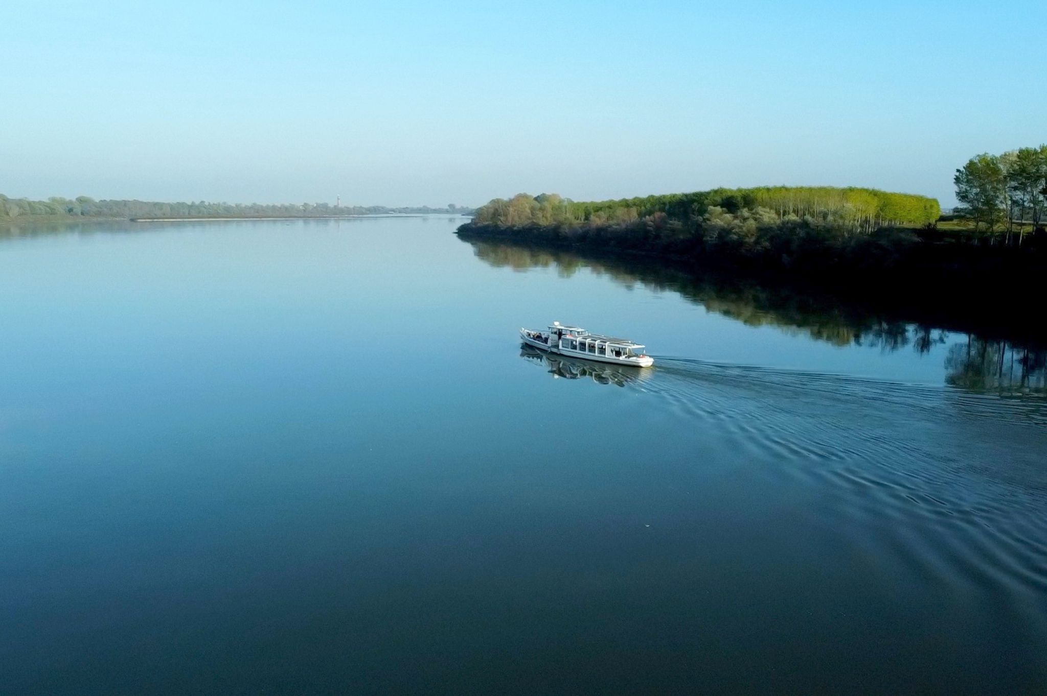
Ferrara and the Po River
Ferrara's urban structure was already consolidated around the year 1000. Ferrara is a linear city that developed in the area defined by the course of the Po and the route of a Roman road, Via dei Sabbioni. The city stretches for about one kilometre parallel to the river, to which it is directly connected through a system of canals, docks and drainage areas. For example, via Ripagrande was the main artery, and was directly connected to the waterway.
The Po and the communication system it configures represented the driving force of the Ferrara economy, capable of ordering and influencing the city's development. The course of the Po at the Ferrara junction was divided into two branches: Primaro and Volano, thus identifying two extremely important navigable axes that connected the Ferrara territory to the sea, to Romagna and to the territory of Venice. In such a scenario, Ferrara was right at the centre of trade between the northern regions. At the time of the city's first nucleus, the main port must have been located near the monastery of San Martino, today in via Fondobanchetto, and served as a collection point for goods produced in the area and as a sorting point for Comacchio salt. Instead, the first cathedral (today's Church of San Giorgio) stood outside the walls, across the river.
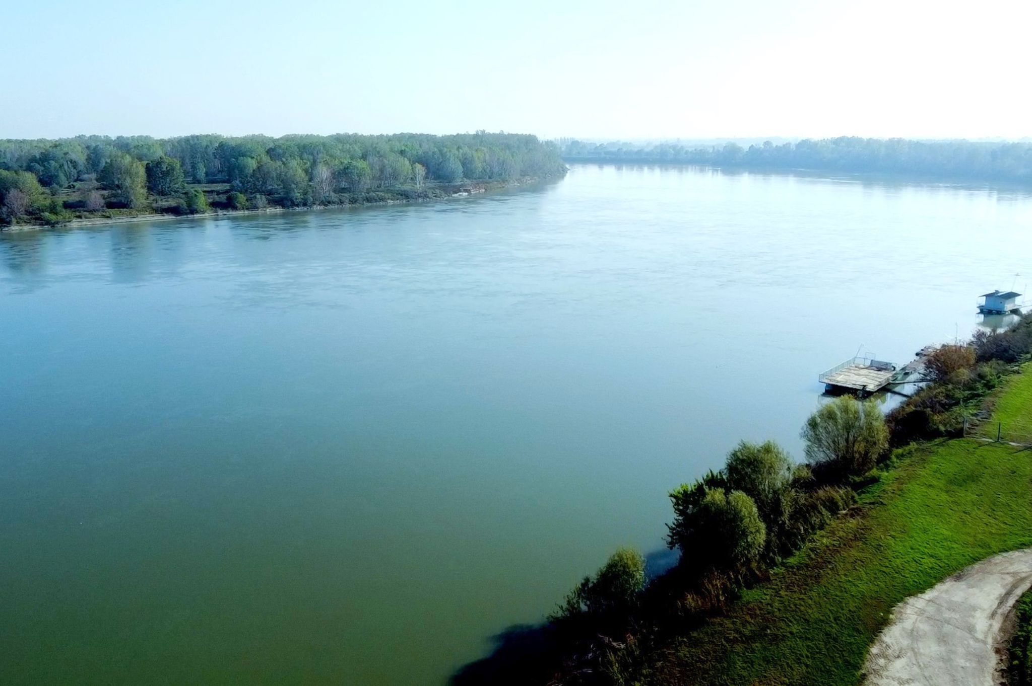
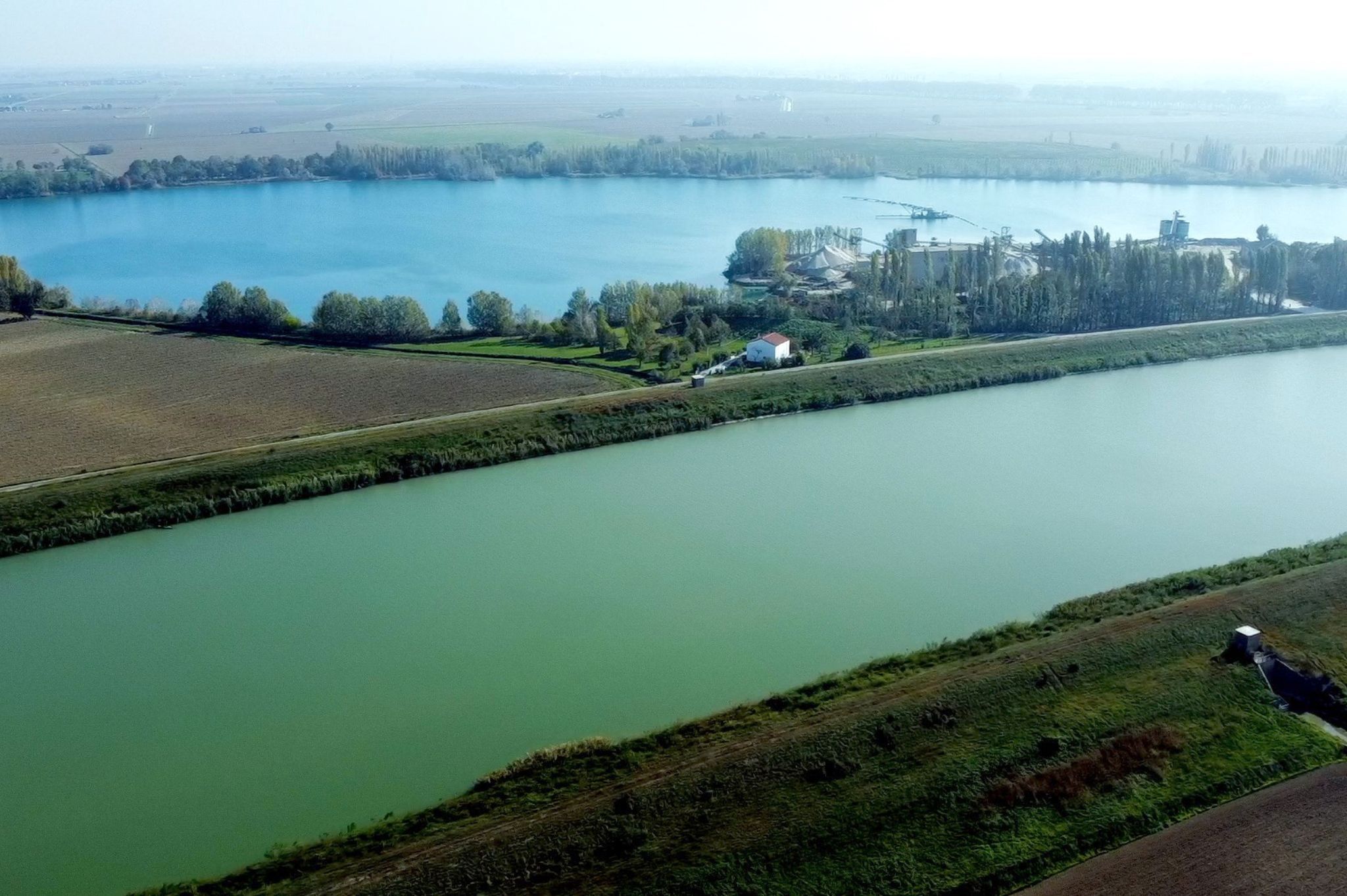
Europe's first modern city
During the first half of the 13th century, a fundamental factor in the transformation of the territory took place: on a political level, the supremacy of the Este family over the city was outlined and affirmed. With the consolidation of their power, they also began a continuous series of works to reclaim a vast part of the territory invaded by water. Through the ambition of the Este dukes and the talent and foresight of some celebrated architects such as Biagio Rossetti (1447-1516) and Giovan Battista Aleotti (1546-1636), Ferrara increasingly took on the image of a flourishing, active and functional city. With urban development, three more ports were added to the city, whose names correspond to those of the present-day churches San Nicolò, San Michele and San Giacomo. Later, these three ports would be replaced by the port of San Paolo, near today's Porta Paola.
Just a quick fact: did you know that in 2003, during a series of excavations, a small river boat dating back to the 15th century was found in the Porta Paola area?
But let's go back to the Borso d'Este era (1450-1471), when the former island of Sant'Antonio, by then joined to the mainland due to the gradual silting up of the Po in Ferrara, was incorporated within the city walls. With Ercole I d'Este (1471-1505), the gigantic urban planning work that is still known today as the Addizione Erculea took shape. The realisation of this grandiose project was entrusted to the architect Biagio Rossetti or, as it was then called, the court 'muradore': Ferrara thus became the 'first modern city in Europe'. Towards the end of the 15th century, reclamation works were concentrated in the province, in the territory of Canal Goro (Codigoro), but the problem was tackled in a more organic manner and with considerable use of capital by Ercole II (1534-1559) and then by his successor Alfonso II (1559-1597).
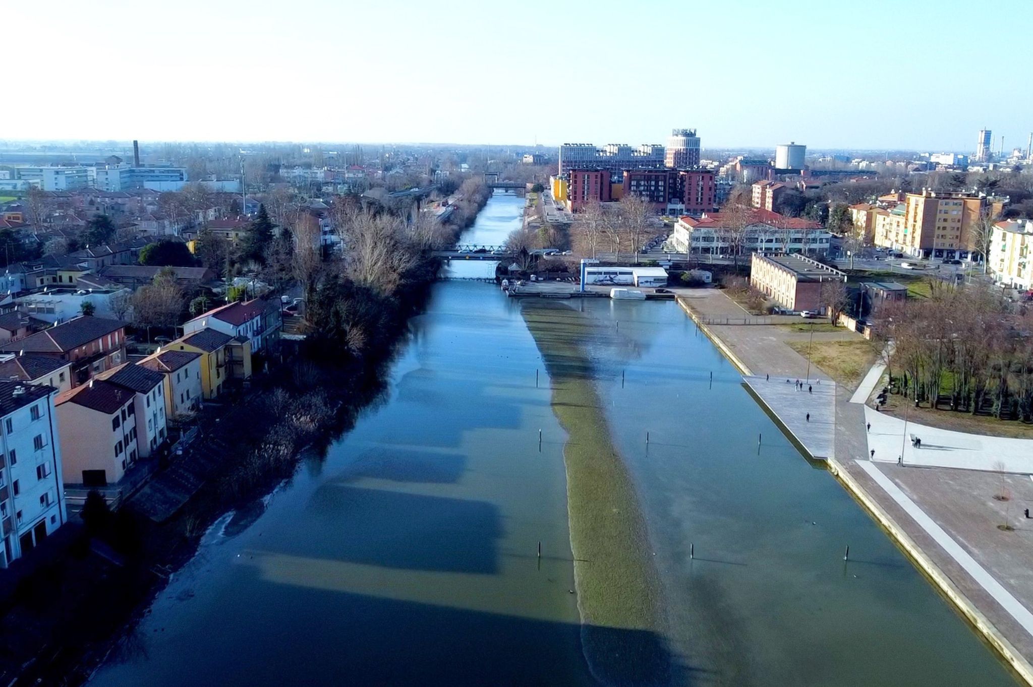
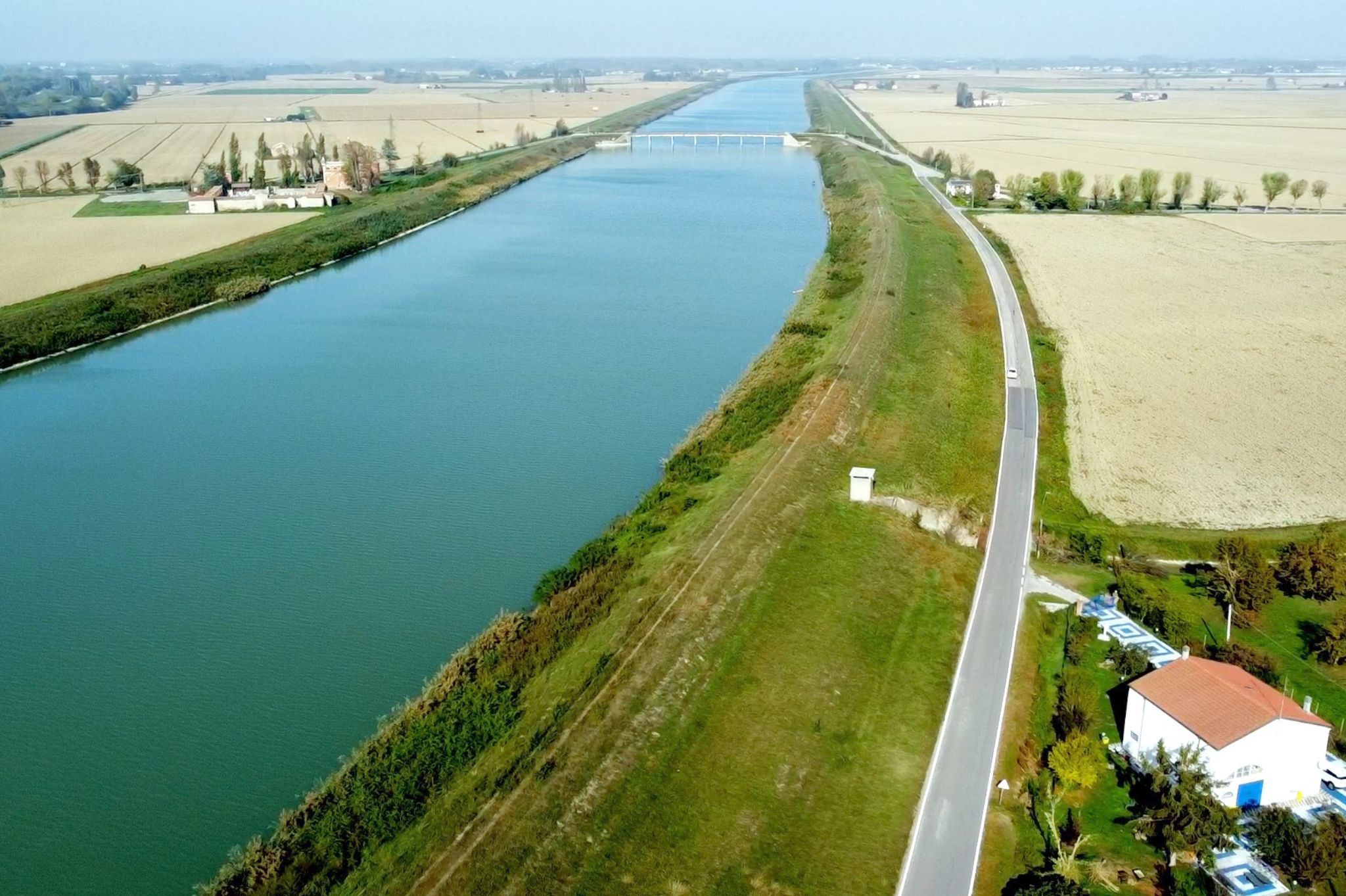
Ferrara and water: an indissoluble bond
In the early decades of the 16th century, when Ferrara's part of the Po was compromised by the hydraulic disorder caused by the diversion of Apennine torrents, a slowdown in trade began for the city. Giovan Battista Aleotti was entrusted with the task of revising and reinventing new accesses to the water: in order to restore traffic, a connection to the river Po was created by means of a canal traced between the locality of Lagoscuro and the city gate of San Benedetto. This waterway, known as the Barco cable, ensured the transport of people and goods as far as the city walls and crossed the land of the ducal Barchetto, crossed Via degli Angeli (today Corso Ercole I d'Este) and entered the gardens of the Montagnola, as far as the Montagna di Sotto delizia. The Barco cable had several functions, but mainly it was built to allow Alfonso II to travel by boat at will, 'without being seen by those of the city'.
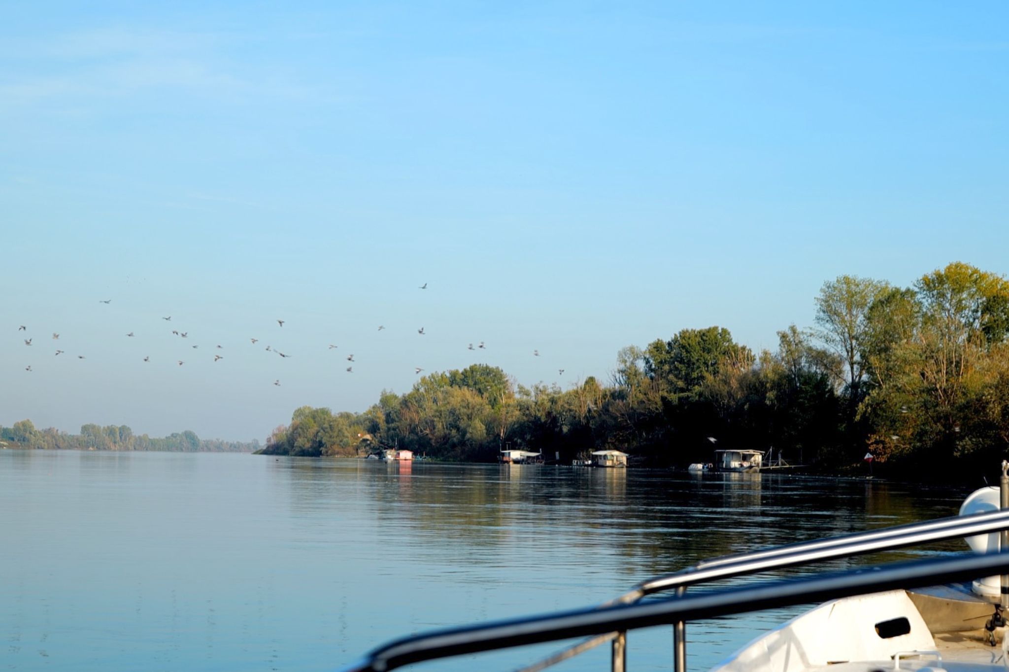
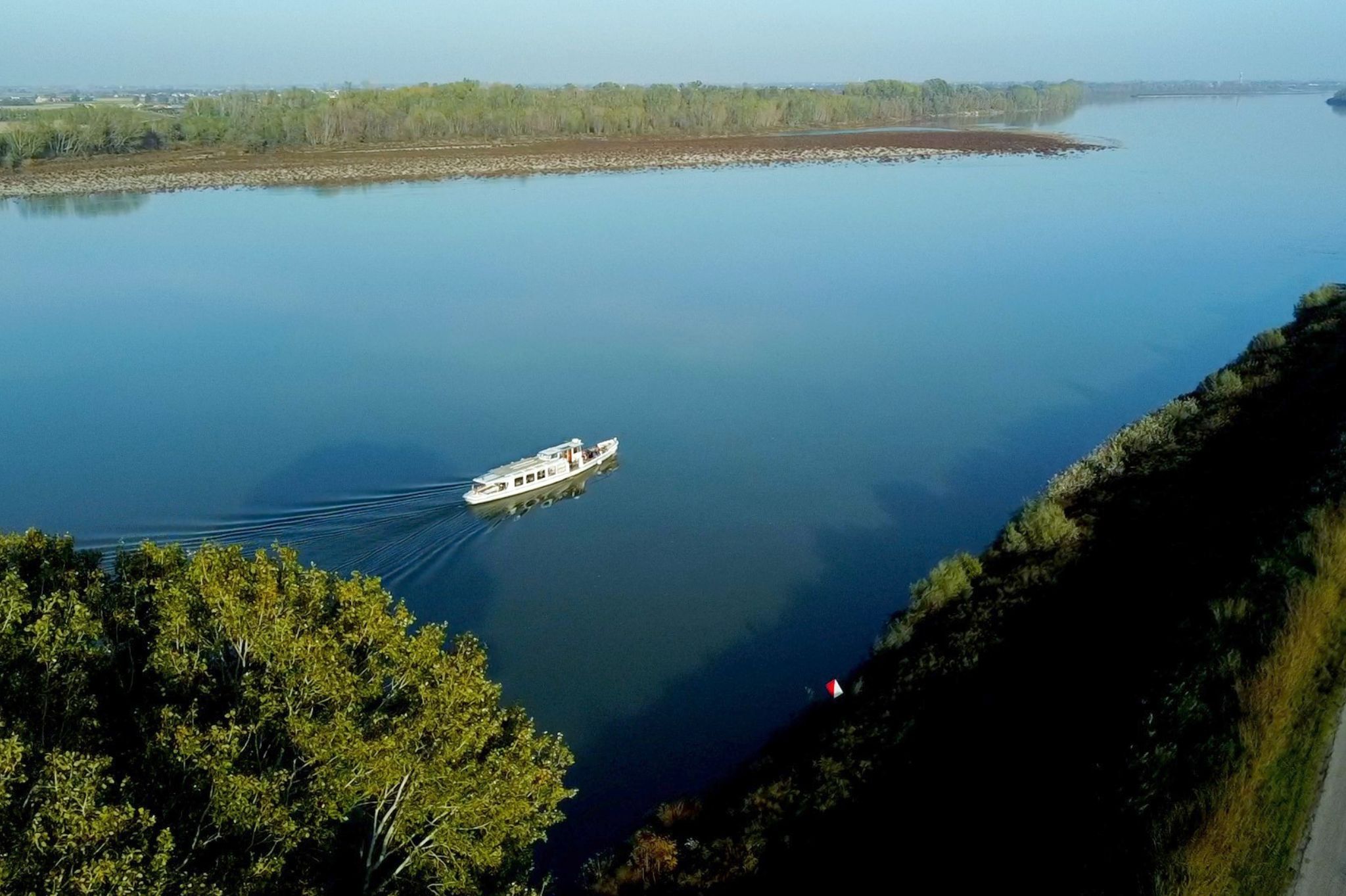
One thing is certain: over several centuries, the d'Este family demonstrated an incredible ability to grasp and make the most of the potential of water. And even today, in the city, we can admire the results.

